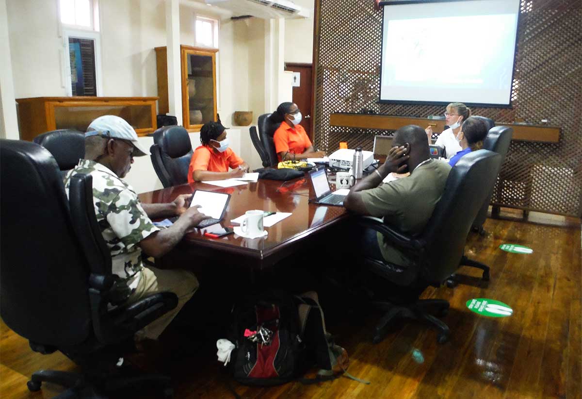
PRESS RELEASE — On Monday, 11th October 2021, a 5-day training programme in the proper use of Unmanned Aerial Systems (UAS) organized by the Saint Lucia National Trust, commenced. Unmanned Aerial Systems are commonly referred as ‘drones’.
This training was undertaken as part of the capacity-building component of a rapid response project which is being funded by the European Union and the Organisation of African, Caribbean and Pacific States through the BIOPAMA Programme. The training was delivered by Dr. Kimberly Baldwin of Marine Spatial Information Solutions based in Barbados.
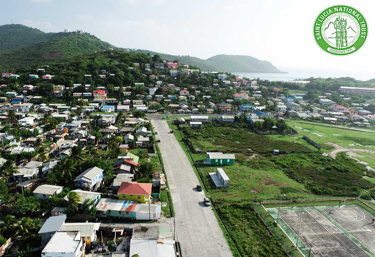
The training session was held at the SLNT’s Southern Office in the Maria Island Interpretation Centre in Vieux Fort and the participants of this training comprised of members of the SLNT’s technical and management team and the Department of Fisheries. The training agenda included a combination of theoretical and practical sessions on environmental mapping, data management, photography and videography, as well as critical information on safety operational protocols and procedures.
From day one of the training, Dr. Baldwin emphasized the importance of seeking the requisite permission from authorities and adhering to safety procedures during the set up and flight of a UAS. As per the national procedure, the SLNT requested and was granted permission by the Department of Civil Aviation and Saint Lucia Air and Sea Ports Authority to conduct the practical sessions associated with this training.
The SLNT envisages that following this training, its staff, as well as those of the Department of Fisheries will be better equipped to monitor, manage and conserve Saint Lucia’s natural resources, habitats and heritage and conservation sites through the use of UAS. The UAS can also be used for disaster management and mitigation, agricultural site mapping and monitoring including crop health, sargassum monitoring and a myriad of other applications.